


Historic State Map – Oregon Washington Indian Reservations – 1881 – Vintage
USD 40.95 USD
Specifications
| Paper | Glossy Photo |
| Size | 23.00 x 29.22 |
| Brand | MAPS OF PAST |
| Type | Old Maps |
| Material | Paper |
| Style | Antique; Vintage |
| Color | Beige; Brown; Red |
| Department | Adults; Teens |
| Orientation | Landscape |
| Original/Reproduction | Reproduction |
| Era | 19th Century |
| Product Line | Historic State Map |
| Model | ORZZ0008 |
| Unit Type | Unit |
| Country/Region Of Manufacture | United States |
Waterways include the Rogue River, Columbia River, Snake River, Yakima River, Salmon River, Puget Sound. This Map is Situated in: States of Oregon (OR) and Washington (WA).
Related Items

LILLY PULITZER Paradise Blanket PANDA N BOWS PINK QUARTZ NWT 000375 SOLD OUT
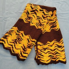
Vintage Handmade Crochet Knit Purple Brown & Gold Zig Zag Chevron Retro 70s

Decoración de pared con timón, ancla y volante de barco, diseño náutico NUEVO US

High Noon Western Gunfight : Signed LE Art Print : Sandra Watercolors™
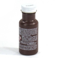
NEW PERMATEX ORIGINAL GASKET SHELLAC COMPOUND, 2 OZ

Museum Inspired Wall Art – Fine Art Photography Set – Minimalist Home Decor

26×42 Rustic Brown with Gold Real Wood Picture Frame Width 1.25 inches | Interio

Flowers Rugs 3×5 Feet Handmade 100% Woolen Hand Tufted For Home Decoration