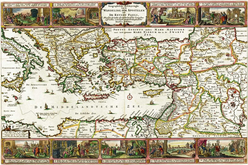

1642 Map Apostle Paul’s Journey fr Jerusalem to Rome Christian Religious Poster
Specifications
| Return Shipping Will Be Paid By | Seller |
| All Returns Accepted | Returns Accepted |
| Item Must Be Returned Within | 30 Days |
| Artist | Nicolaes Visscher |
| Character | Does Not Apply |
| Country/Region Of Manufacture | United States |
| Department | Kids |
| Style | Vintage/Retro |
| Material | Paper |
| Theme | Art |
| Original/Reproduction | Reproduction |
| Type | |
| Features | Unframed |
| Color | Multicolor |
| MPN | Does Not Apply |
| Subject | Maps |
| Character Family | Does Not Apply |
| Room | Any Room |
| Origin | United States |
| Brand | Unbranded |
| Production Style | Printed |
| Orientation | Horizontal |
| Item Height | 3 variations |
| Item Length | 3 variations |
| Item Width | 3 variations |
| Unit Type | Unit |
Geographic Description of the Travels of the Apostles and the Journeys of Paul, Together with the Countries and Empires Where They First Preached the Gospel. -See more info below- Detailed Specifications This is a modern reproduction of the original map. This Map Comes in Sizes: 11"x16", 16"x24" and 23"x34"We have more Maps of the Holy Land, you can find them in Our StoreWe also have more Religious Maps, you can find them in Our StoreRemember, the smaller the map size, the smaller the print, that means it is harder to read the text!All Our Maps and Posters Are Made in the USA This map created in 1642 by Nicolaes Visscher shows the eastern Mediterranean and environs in the first century AD and the journey of the Apostle Paul from Jerusalem to Rome in 60--61. Nine panels surrounding the map depict major scenes from the life of Paul and the journey, including his being blinded on the road to Damascus, his baptism, his escape from Damascus, shipwreck off the island of Malta (also illustrated on the map), and his appearance before the Emperor Nero in Rome. Each panel is a composite containing two or three scenes from the apostle's life; annotations link the scenes to the appropriate Bible verses. The map was engraved and hand colored to display the administrative and political divisions of the period. Numerous cities, towns, islands, and regions are labeled, including Memphis, Alexandria, Jerusalem, Babel, Tripoli, Constantinople, Athens, and Rome. The seas are decorated with sailing ships and a compass rose. This map comes with a white border around the image --------------------------- -How are the prints shipped? They are rolled and placed into a rigid tube or box. -Is this available in a larger/smaller size. Yes. For smaller or larger sizes, email us.
Related Items